Tag: Watling Street
A Roman Road Through Britain
by admin on Aug.03, 2015, under Blog posts, Historical background
My newest regency romance, The Marriage Act, begins as a cross-country “road” story, with an unhappily married husband and wife forced to spend time in each other’s company as they travel through England. The road that the hero and heroine take out of London is a real thoroughfare, parts of which were already more than a thousand years old at the time of the Norman conquest. It’s called Watling Street, and it’s a Roman-engineered relic of the first century occupation of Britain.
Before the Romans arrived in Britain, the native Britons had already established paths that ran from the English Channel to a point where the Thames was narrow enough to ford, then later split into separate western and northern routes. When the Emperor Claudius sent his legions to conquer Britain in 43 AD, the Romans made use of these routes in their new province of Brittania. They built a lighthouse and later a fort at Portus Dubris (the port of Dover), then a paved road that ran northwest to cross the river Stour at the Roman town of Duruvernum Cantiacorum (present day Canterbury).
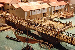
From there, the Roman road continued through present-day Rochester and on to Londinium (London). The Romans founded Londinium in 47 AD, building a bridge across the Thames and establishing a settlement on the north bank. That same winter, they paved the road that crossed the bridge.
What we now know as Watling Street ran in a westerly direction through Londinium and was nearly thirty feet wide in places. Leaving London, it turned to the northwest in a straight line corresponding to the present-day Edgware Road and continued through Verulamium (modern day St. Albans) and beyond. The Roman word for a paved road was strata, and many towns and villages along the route owe their names to the old road, including various forms of “Stratford” and “Stretton.” The name “Watling Street” comes from a tribe that lived in the region of St. Albans, the Wæcelinga.
Roman rule ended in Britain in the late fourth century, and subsequent centuries saw first Saxon and, later, Viking invasions. In 878, Alfred the Great defeated the Vikings, who withdrew into East Anglia, Essex and Eastern Mercia, rendering Watling Street the boundary between the Viking (Danelaw) and Saxon sections of Britain. The road went through various stages of disrepair and resurfacing over the centuries, but for the most part it remained well-traveled. Chaucer’s fictional pilgrims in The Canterbury Tales employ the London-to-Dover stretch of Watling Street in the late 1300s, and during the Great Fire of London in 1666, the diarist Samuel Pepys mentions how he “…walked along Watling Street as well as I could, every creature coming away loaden with goods to save – and here and there sick people carried away in beds.” Rebulding the church of St. Mary-Le-Bow after the fire, Sir Christopher Wren’s workmen discovered sections of the old Roman paving, and incorporated stones from the Roman road into the church foundation.

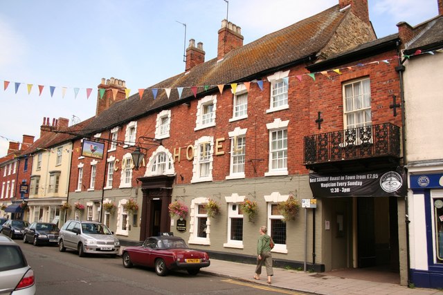
Watling Street rose to greater prominence in the coaching era, and the first turnpike trust in England was established in 1707 to re-pave parts of it. Inns along the route thrived. The southeastern section of the road, from London to the coast, became known as the Great Dover Road. To the west, civil engineer Thomas Telford improved communications between London and Dublin by extending the road all the way to the port of Holyhead in Wales, an undertaking completed in 1826. It’s this section of Watling Street–the Holyhead Road–that my characters travel in The Marriage Act.
Today, the Great Dover Road is known as the A2, and the Holyhead Road is roughly the A5, though the name “Watling Street” is still in use at many points. You can even find evidence of the Roman occupation, such as sections of the ancient city walls in St. Albans. Not only did Watling Street link the eastern edge of Great Britain, the coast of Kent, with the western edge in Wales, but we owe much of the London we know today to the old Roman road and the settlement that grew up around it.
I hope you’ll take a look at The Marriage Act, and that reading it gives you a feel for what traveling along Watling Street might have been like during the golden age of coaching in the early 1800s. If you enjoy “second chance at love” romances, you’ll find lots of drama in this story of a married couple bringing their relationship back from the brink of disaster.


